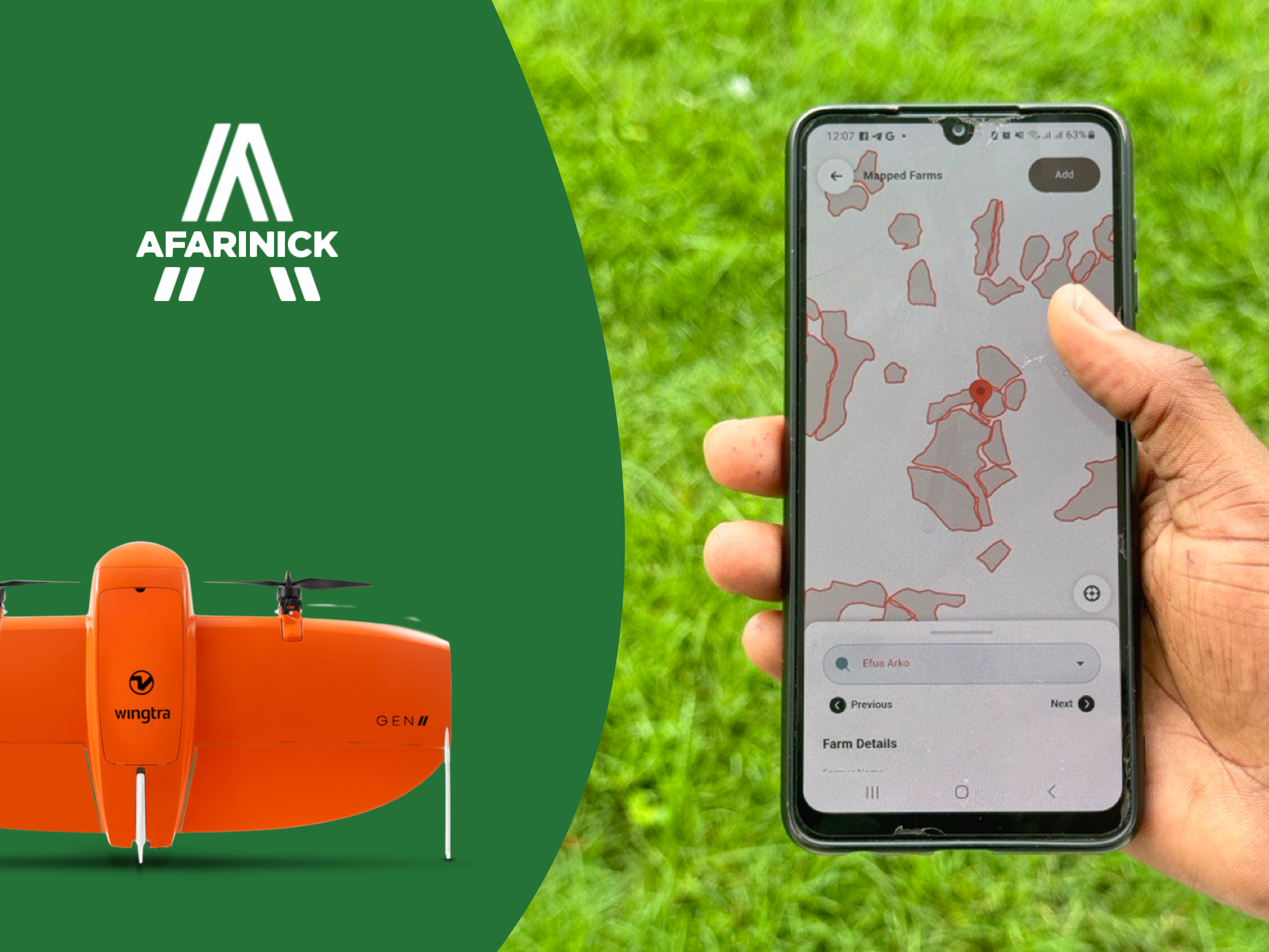

Afarinick offers state-of-the-art GIS and Mapping services to support your environmental and agricultural planning needs.

Afarinick's GIS and Mapping Services provide precise spatial analysis and data visualization to enhance agricultural planning and environmental management. Our expertise ensures that your projects are grounded in accurate geographical data and innovative mapping techniques.
Our GIS and Mapping Services are tailored to meet the unique needs of your agricultural projects. Whether you require detailed land use analysis, efficient crop monitoring, or comprehensive environmental impact assessments, Afarinick provides the tools and expertise to deliver actionable insights and support sustainable decision-making.
Leverage our cutting-edge GIS technology and experienced team to transform your data into meaningful maps and reports that drive success and sustainability in your agricultural endeavors.