Afarinick is at the forefront of utilizing GIS technology to enhance the implementation of the EU Deforestation Regulation (EUDR). Our GIS mapping project aims to monitor and assess land use changes, promoting sustainable practices while ensuring compliance with EU regulations. Through innovative mapping solutions, we support transparency and sustainability in agricultural and forestry practices.
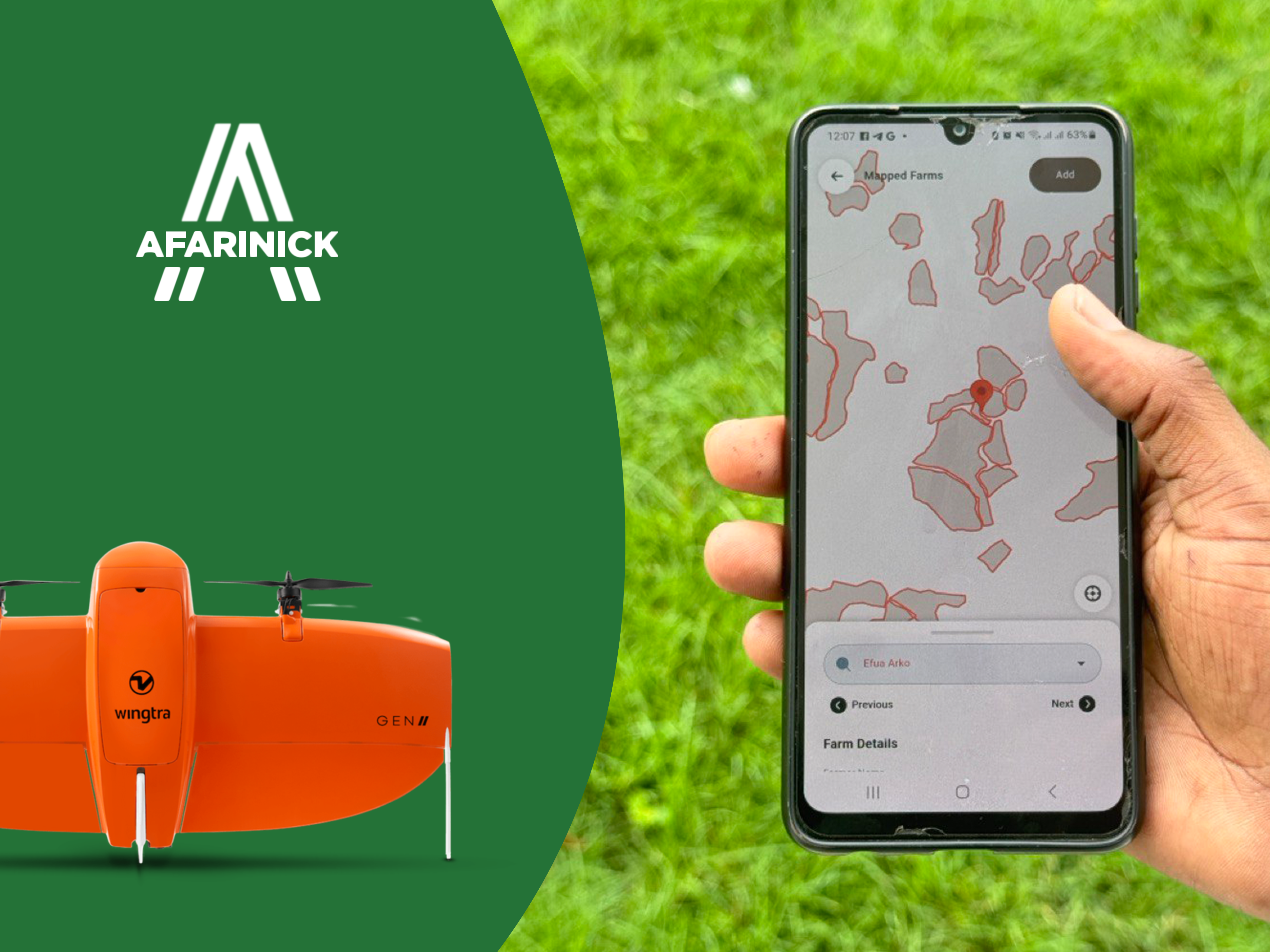
At Afarinick, our EUDR GIS mapping project integrates advanced geospatial technologies to facilitate compliance with EU regulations on deforestation. By providing detailed mapping and analysis of land use, we enable stakeholders to make informed decisions that promote sustainability and environmental stewardship.
Our team is dedicated to training local communities and organizations in the use of GIS tools, empowering them to monitor their environmental impact and implement sustainable practices. This project aims to not only safeguard the environment but also enhance livelihoods by fostering sustainable agricultural practices.
Through effective GIS mapping, we are committed to building a transparent and accountable framework that supports environmental sustainability while enhancing productivity in agricultural and forestry sectors.
Join us in promoting responsible land use and ensuring a sustainable future for generations to come.