Providing comprehensive solutions in geospatial technologies to empower your business decisions.
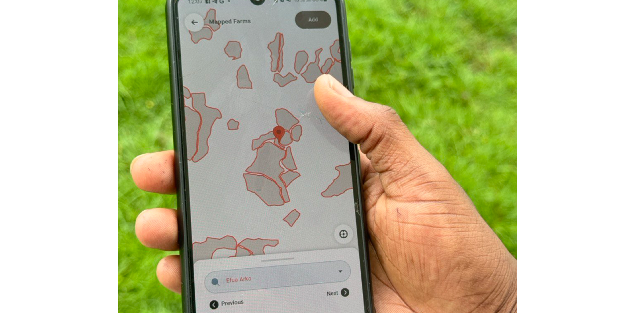
Our Mapping and Data Collection Services offer comprehensive data gathering and precise mapping solutions tailored to your project's unique needs. Utilizing the latest GIS technologies, we ensure accuracy, reliability, and actionable insights.
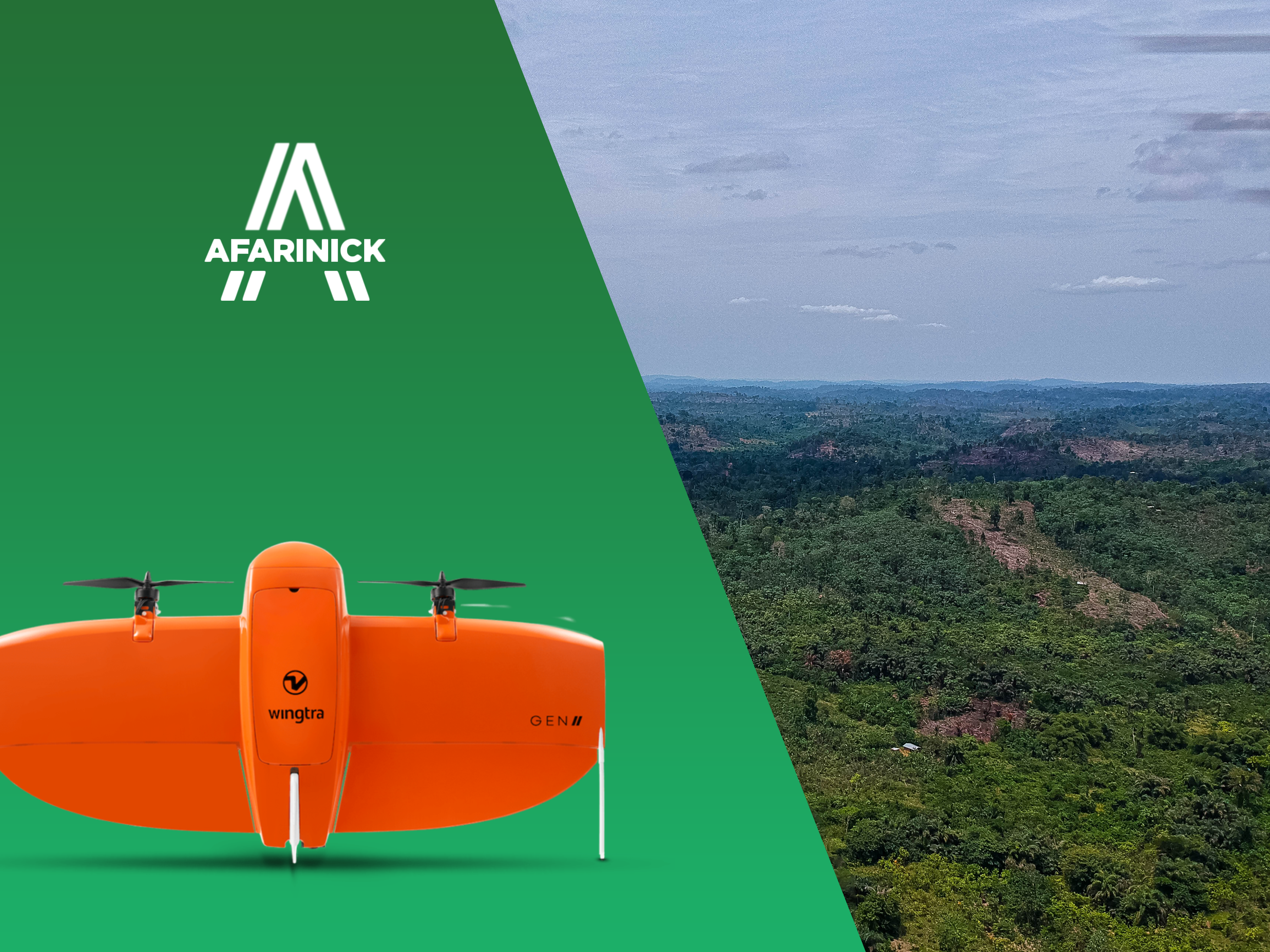
Our Drone Survey services utilize advanced drone technology to conduct high-resolution aerial surveys, ensuring precise and efficient data collection in various environments.
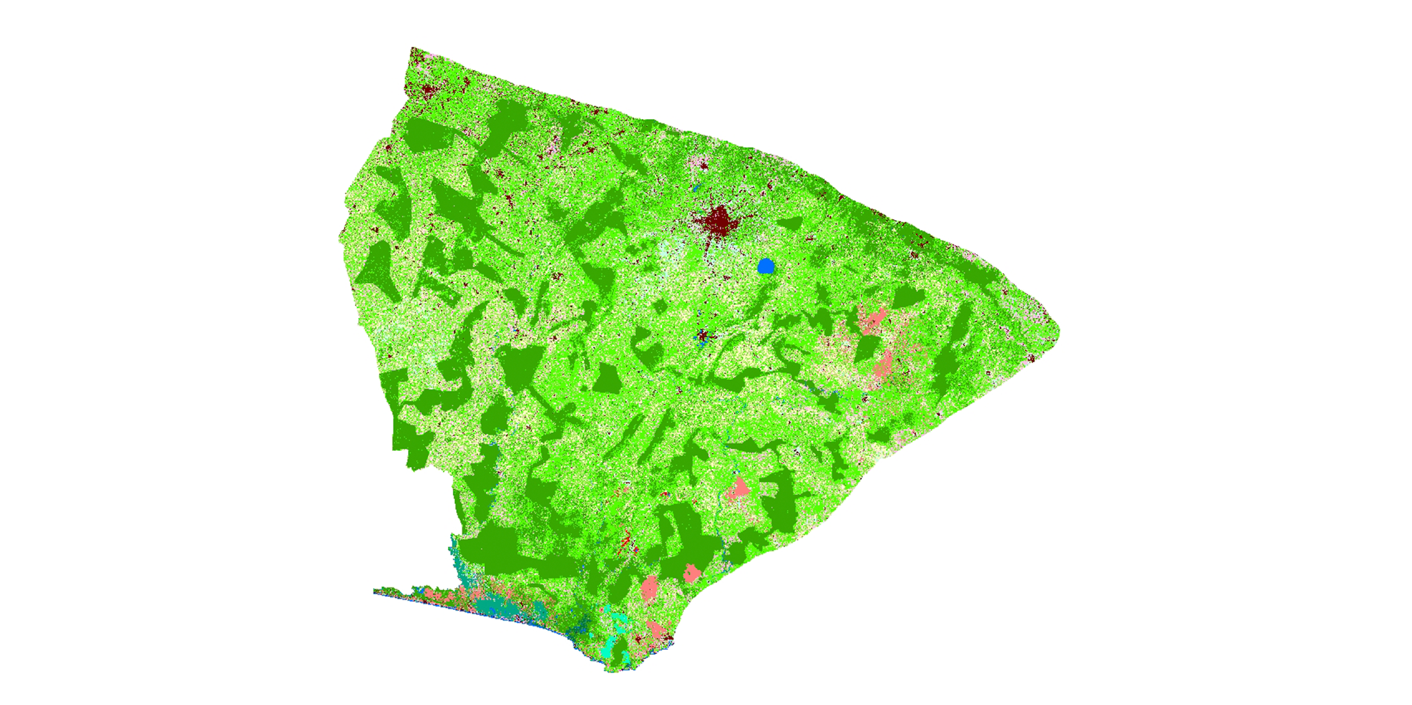
Our Geospatial Analysis services uncover patterns, trends, and insights from spatial data to drive strategic decision-making. We transform raw data into meaningful information for your business needs.
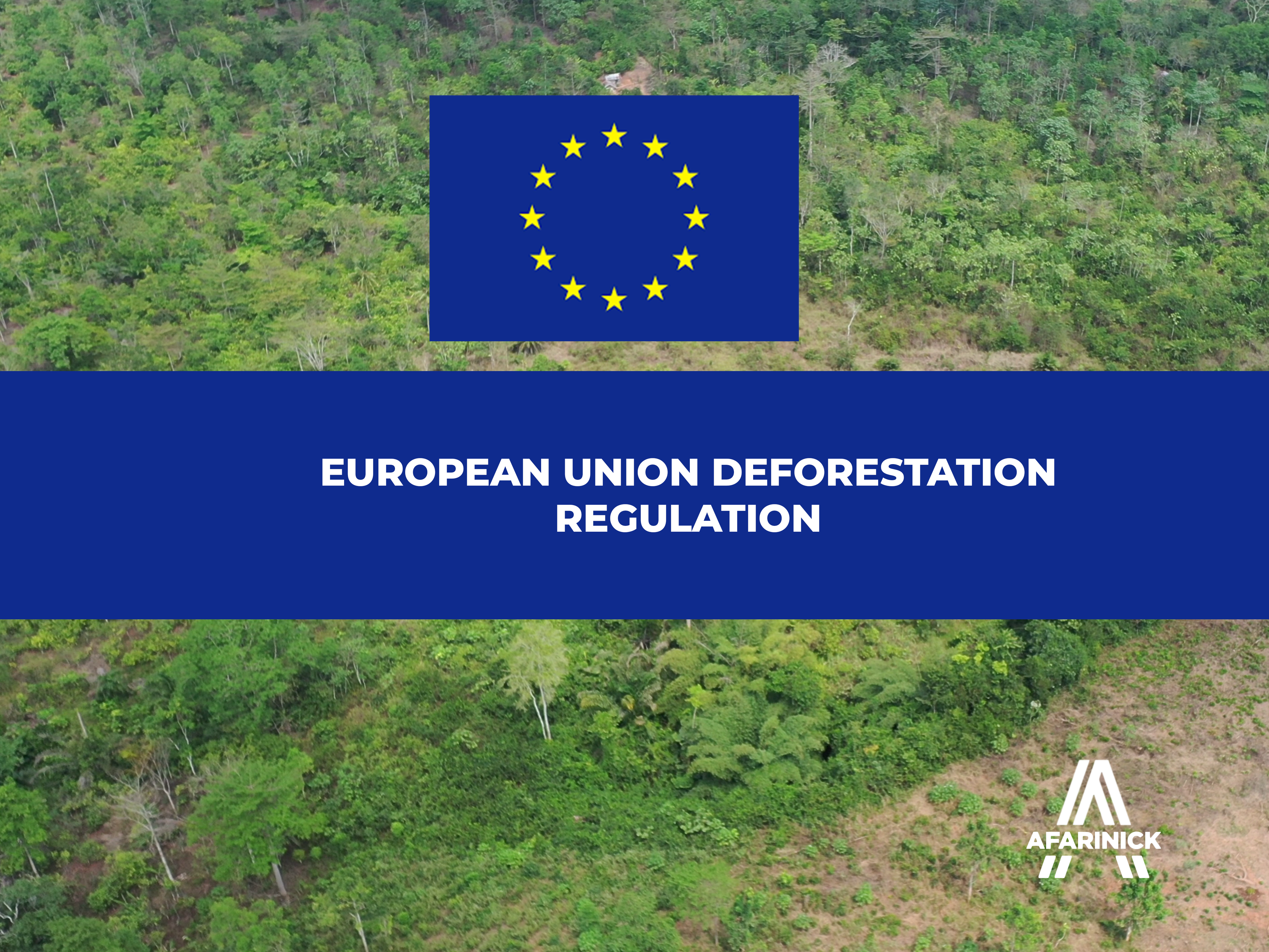
Ensure your operations align with the European Union Deforestation Regulation (EUDR) standards through our expert Compliance Support services. We help you meet regulatory requirements efficiently.
Our Software Development services encompass various fields designed to provide innovative solutions. Here are the key areas:
We specialize in creating robust and scalable systems tailored to meet the specific needs of our clients, ensuring seamless integration and functionality.
Our expertise in WebGIS Development allows us to create interactive mapping solutions that enhance spatial data visualization and analysis for users.
We develop mobile applications that provide users with intuitive and engaging experiences, ensuring functionality across various platforms.
Our Database Administration services ensure data integrity, security, and availability, optimizing database performance for all applications.

Explore our expertise in data engineering, enhancing data-driven decision-making.


Afarinick Company Limited offers diverse corporate training programs including GIS/Remote Sensing, Web GIS, Microsoft Office Suite, Google Suite, Bootcamp, and Hackathon, equipping individuals and organizations with essential skills for professional development.